
The Yavapai Trails Association challenges all locals (and visitors!) to complete the entire Prescott Circle Trail
By Amanda Lane
A group of hikers, bikers, and equestrian riders with a love for the space in which we live and play founded the non-profit Yavapai Trails Association (YTA) in the 1990s to provide non-motorized trails to the greater Prescott area.
The YTA, which organizes trail development and offers local group hikes, gives us the property access, tools, and staffing to make great local trail concepts a reality.
Twenty-five years ago, through countless volunteer hours, grands, and fundraisers, the YTA was instrumental in establishing the Prescott Circle Trail (PCT), which required collaboration between the City of Prescott, the Prescott National Forest, Yavapai County, the State of Arizona, and private property owners.
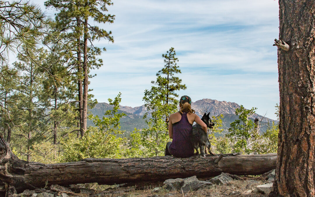
Now, the YTA has issued a challenge to all locals: to complete the entire PCT.
The challenge is sponsored in part by Russ Lyon Sothebys, and when hikers, bicyclists, or equestrian riders complete it, they can submit a form and receive a certificate of completion and a PCT sticker or patch.
It does not have to be done in one day, or in any one particular way. Just get it done!
The YTA’s website (www.alltrails.com) offers maps that have broken the trail into 11 sections, which correspond to the Circle Trail mile markers on the Prescott City trails map. This is a great way to break up the PCT into smaller hikes. The City of Prescott website offers two different maps for splitting the trail into bike rides, as well as elevation maps and much more.
- Section 1miles 13-18
- Section 2 miles 18-22
- Section3 miles 22-28
- Section 4 miles 28-34
- Section 5 miles 34-38.5
- Section6 miles 38.5-47.5
- Section 7 miles 47.5-51.5
- Section 8 miles 51.5-55
- Section 9 miles 55-3
- Section 10 3-7
- Section 11 7-11.5
Link https://www.alltrails.com/explore/list/prescott-circle-trail-segments.