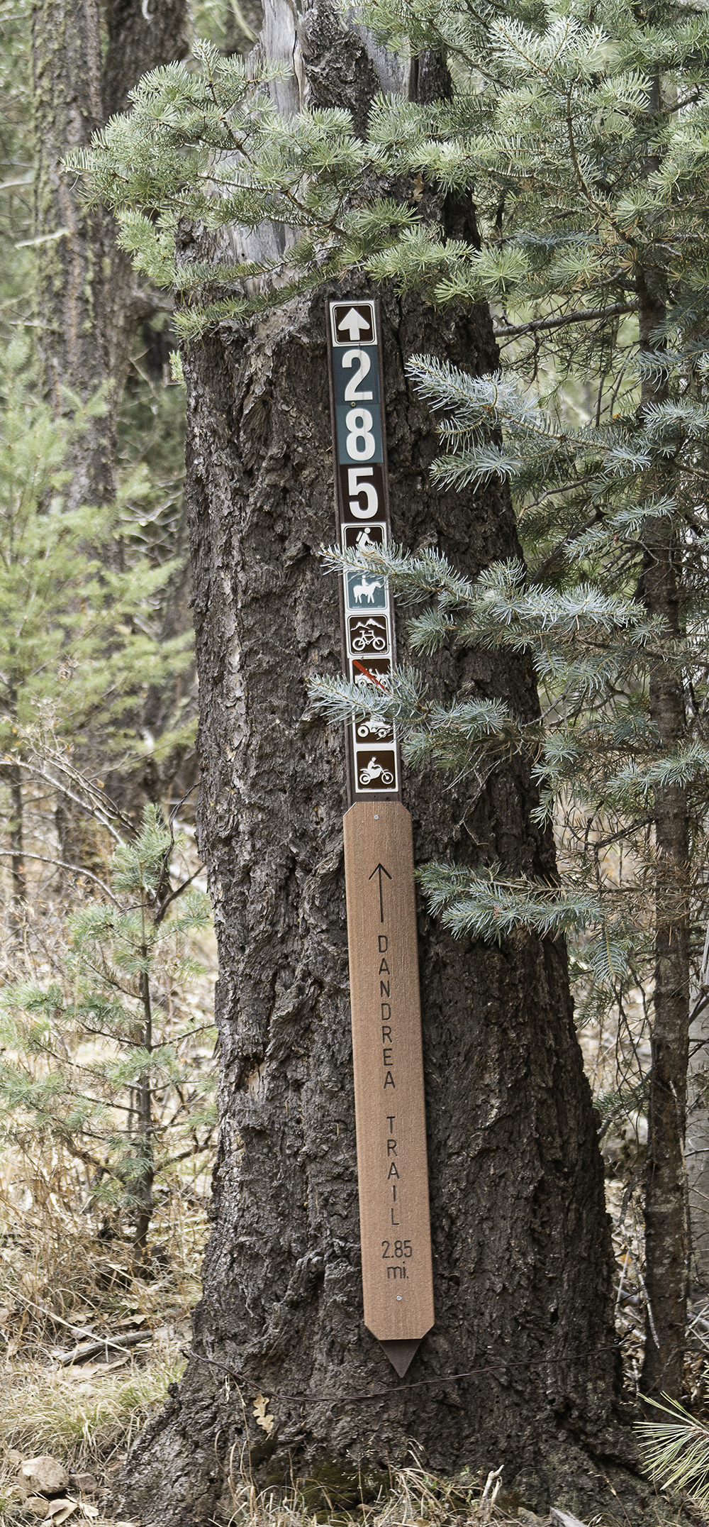
The Dandrea Trail #285 and the Yankee Doodle Trail #284 take hikers to the highest point in Prescott
By Amanda Lane, owner, Hike Shack
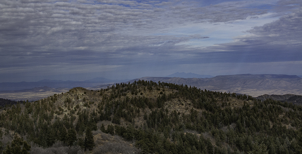
Mount Union is the highest peak in the Prescott National Forest reaching nearly 8,000 feet, and the Dandrea Trail runs North and South over it—with a quick detour on the Yankee Doodle Trail allowing hikers to summit the peak.
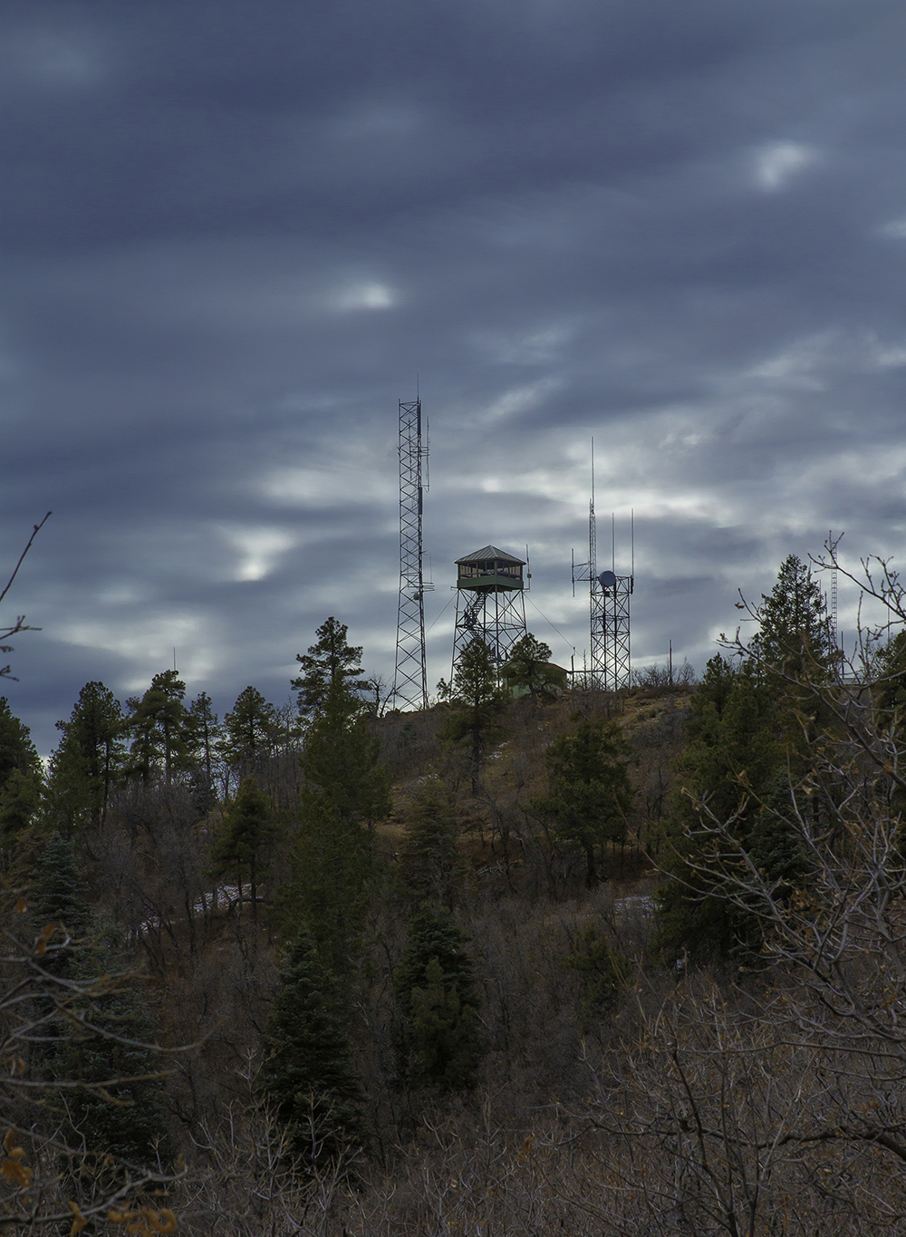
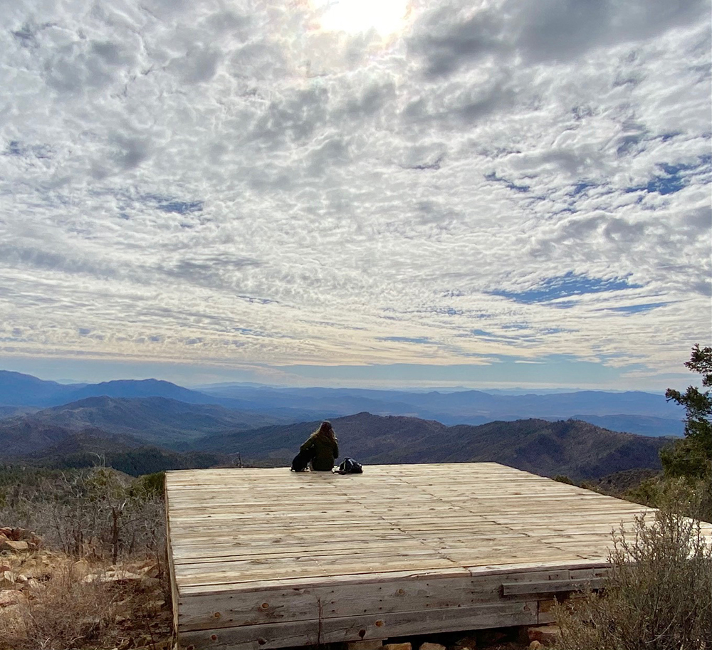
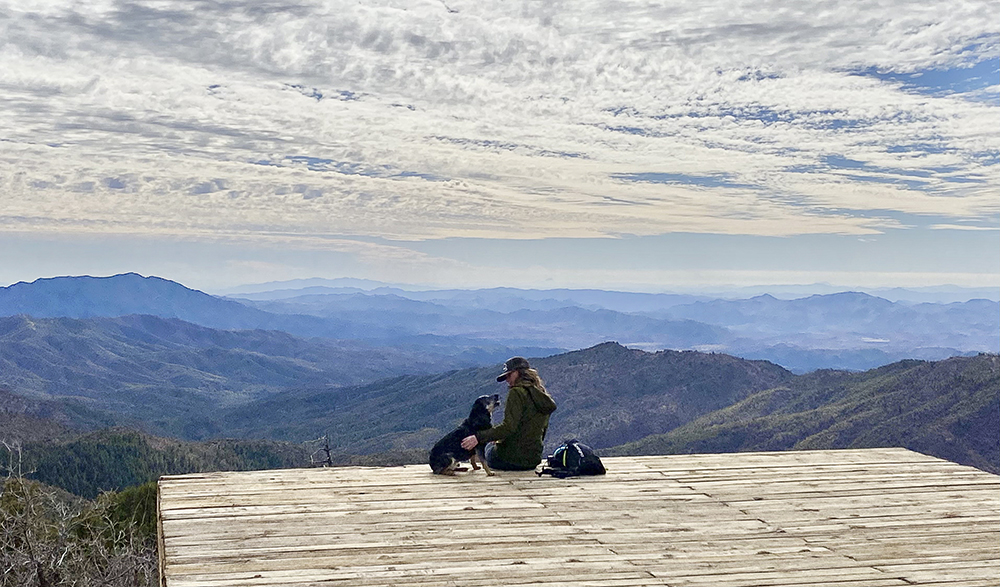
The Top of Mount Union is home a helicopter pad, which has always been one of my favorite lunch spots, as well as to several communication towers, a small forest service cabin, and a fire watch tower. It has one of the most amazing views in the Prescott National Forest.
To get to the trailhead from downtown Prescott, head east out of town on 69 to Walker Road. From there, travel about 10.5 miles through Walker to Potato Patch. Once you enter Potato Patch, turn left on Poachers Row, which dead ends at the Forest Service boundary and the 285 trail sign.
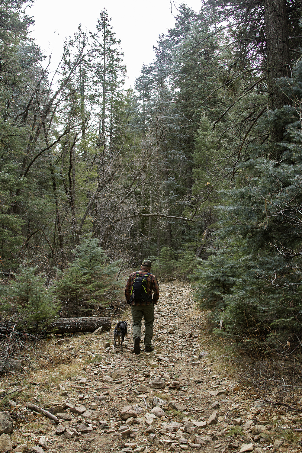
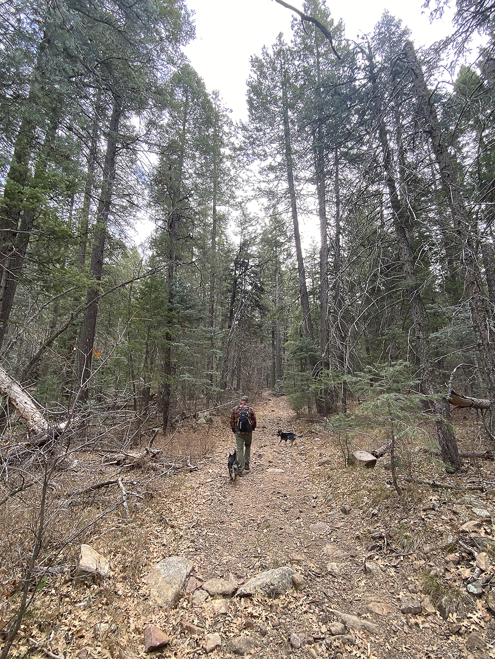
The trail starts as a wide old dirt road. After crossing the creek, continue straight to stay on the dirt road (do not follow the creek). Two more roads appear within a short distance. Stay right and head on up the hill. The trail becomes a narrower motorized trail with lots of loose rocks that could easily cause a hiker to roll an ankle. The hike is steep on this side of the mountain but rather short. Using this trail to do a quick out and back to the Mount Union summit also makes for a great little adventure.
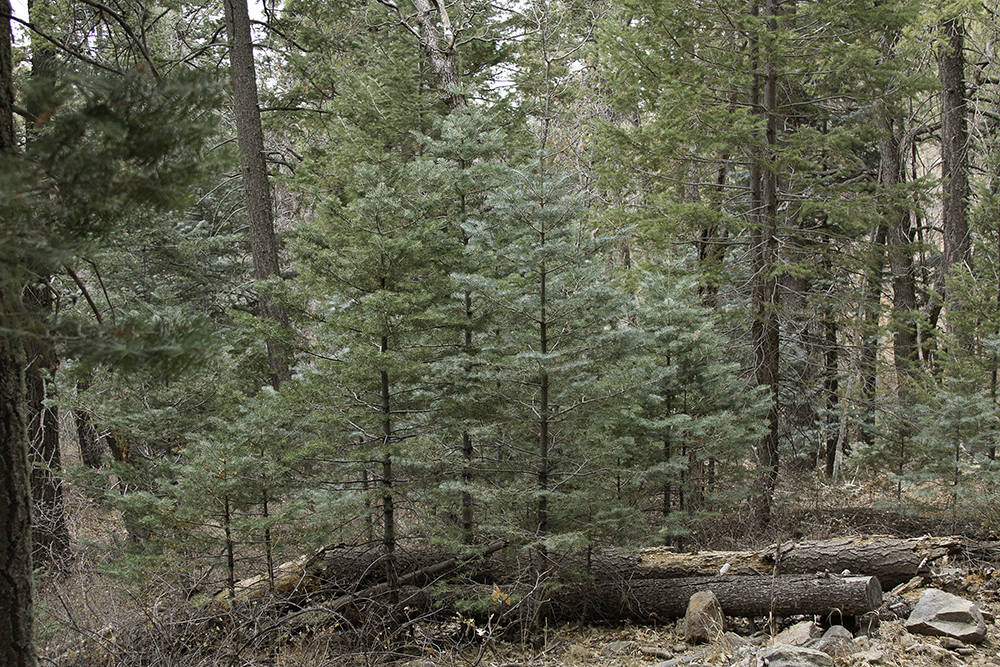
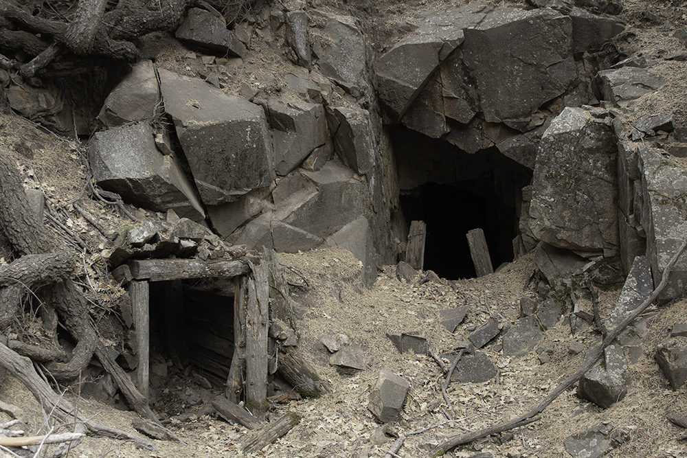
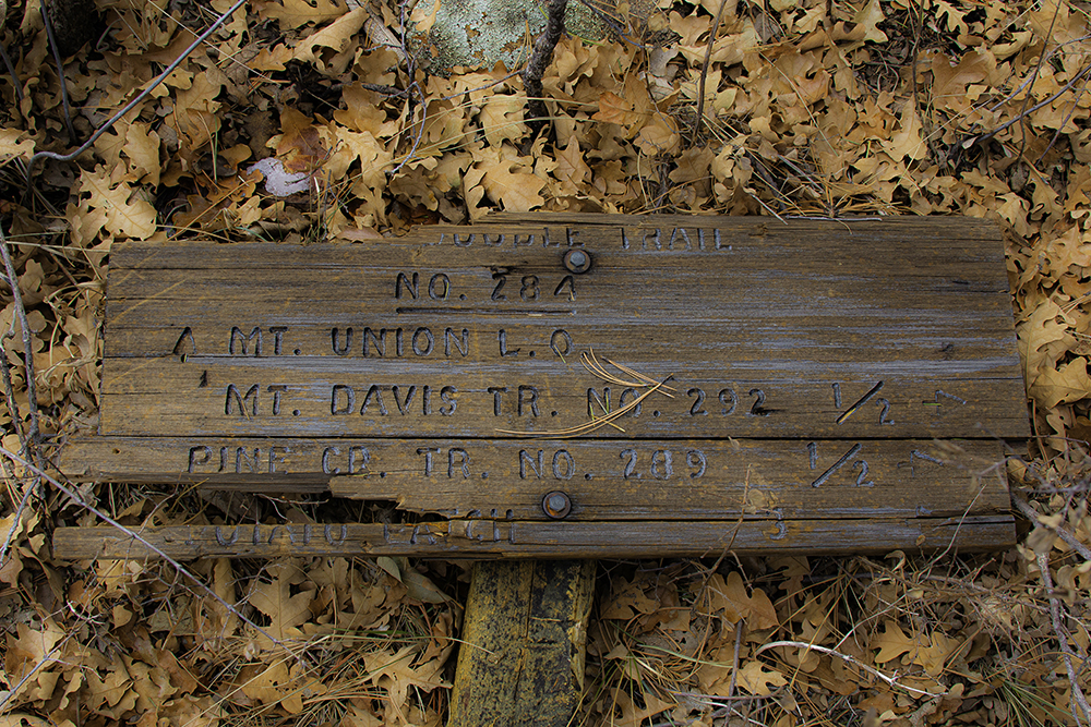
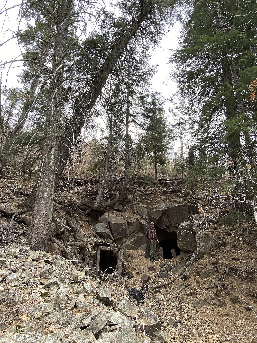
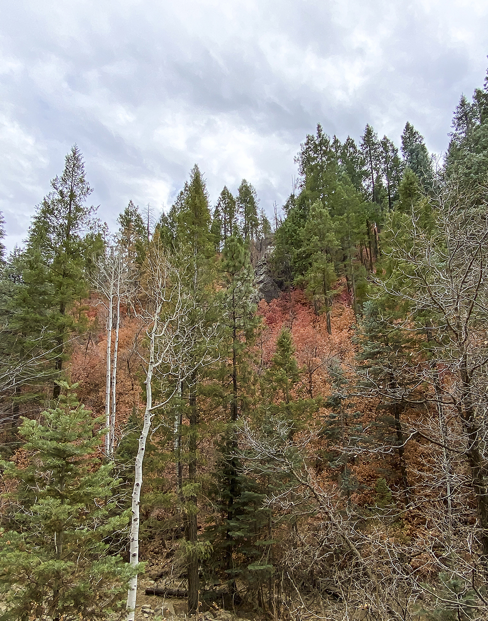
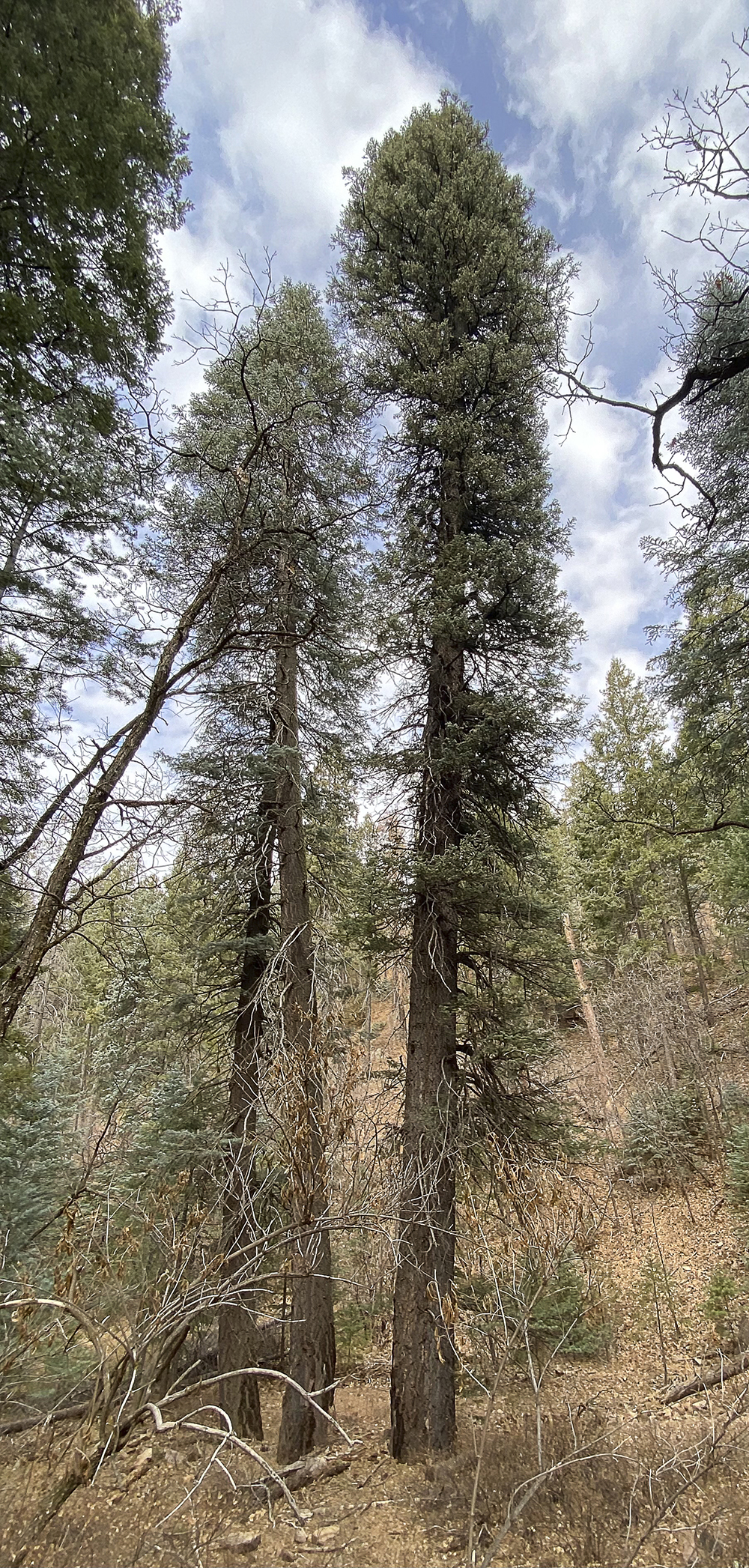
The trail winds through some old mining sites along the way up, in between amazing Ponderosa and Pinion Pine, amazing Douglas fir, Gamble Oaks and groves of Quaking Aspen trees. From the 285 trailhead, it’s only a little over a mile to the intersection of the 284 Trail. This is the Yankee Doodle section of the trail; take 284 to the right, a half-mile to the top of Mount Union.
After taking in the amazing view from the top, head back down to the 285 the way you came. Coming off Mount Union, head right on the 285 trail. It will descend almost two miles and end at the old Dandrea Ranch site. This side of the mountain has less tree coverage allowing you to take in the amazing views all the way down. You will cross forest road 261 about halfway down the mountain.
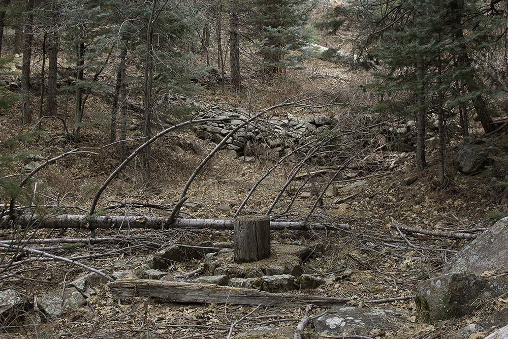
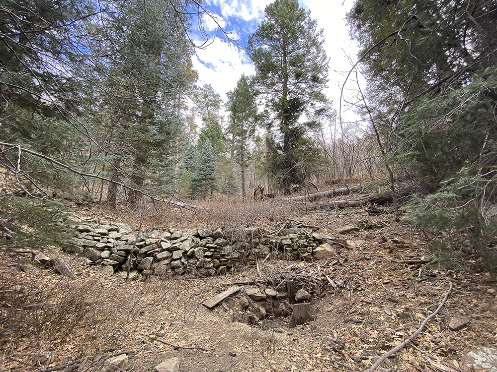
The trail turns into more of an old two-track road and runs straight into the old ranch site. There is a seasonal stream, old rock walls, fruit trees, black walnut trees, tons of wildflowers in the summer months, and a huge section of what I am rather sure are blackberries.
At the far end of the open field is a more established Forest Service road 706 (if you wanted to make this a one-way trip you could park another vehicle here). The 706 road is a rough four-wheel drive road. About a mile down it connects with the Big Bug Road 670, which will take you to Walker. The 670 Big Bug Road is a much nicer graded road and does not require a four-wheel drive.
The Details
At the trailhead for the 285 trail, we parked off the side of the road at the trail head sign. Parking is very limited here. There are no services available, and this is a remote area so take extra water and let someone know before you go.
The hike gains a little more than 1,600 feet and covers about 4.5 miles one way from Potato Patch to Dandrea Ranch. The terrain was a bit rocky and steep in some sections so trekking poles and hiking boots are highly recommended. This hike is an ankle twister. The National Geographic Bradshaw Mountains map #357 was a wonderful source of information, making it a great companion for this hike.
Stop by The Hike Shack at 104 N. Montezuma Street in Prescott or call 928.443.8565 or visit www.thehikeshack.com.