Apache Creek Wilderness Lower Loop: a trail to ourselves
By Amanda Lane, Owner, The Hike Shack
While I spent a lot of my childhood camping with my family in the Camp Wood area, I have never explored the Apache Creek Wilderness area. So, with the increased trail traffic around town these days, I decided this would be a perfect opportunity.
My research on the area turned up the same simple description everywhere I looked. This remote, 5,633-acre wilderness area was established in 1984. It contains only one trail, which leads you through a landscape rich with pinion, juniper, oaks, granite outcroppings, and rolling hills of conifer. There are three natural springs with several important riparian areas that support mountain lions and a wide range of birds.
With this information, I grabbed my map, my backpack, and my husband, and we headed off into the wilderness. We wanted to start at the northern end but couldn’t find a trail access point from Road 125 so we decided to make a loop out of trail 9906, 9905 and the 95A road (approximately seven miles round trip).
The Apache Creek Juniper Mesa National Geographic map is an extremely helpful tool in terms of getting to the Apache Creek Wilderness area and navigating it. You can access the trails from both the north and south end of the wilderness. Both options require more than an hour on dirt roads.
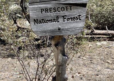
Take Williamson Valley Road all the way to the dirt (about 30 minutes from town). From here, continue to head north just after you cross the bridge and pass mile marker 36. Keep left at the split, and take Road 125 for about two miles. Just past the Walnut Creek Station, you will see Road 95 on your left. Less than a mile down this road you will see another split and you will want to go right onto 95A. There are plenty of places to pull off here and park, or for a trailer to turn around. Dirt Road 95A is labeled on the map as impassible by vehicles. We passed the 9904 Grabber Wash Trailhead about a mile down the road and we decided to keep going. It was three miles of high clearance 4×4 driving to get to the 9906 Trailhead. There is a trail marker in a large open space on the right next to a beautiful Juniper tree. The easy, one-mile trail led us down a wash straight to Apache Creek. The wilderness area was incredibly beautiful and peaceful. The creek was running, and spring was just starting to show.
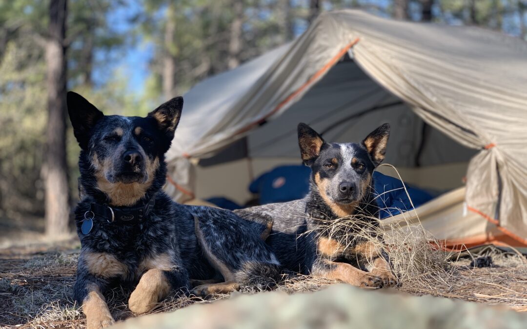
We camped on a ledge above the water and listened to the frogs all night and the birds all morning. The next day, we packed up and headed south three or so miles to the 95B road. It took us a few hours to reach the road and we crossed so many streams I lost count. At higher water this could have been an issue.
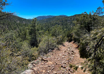
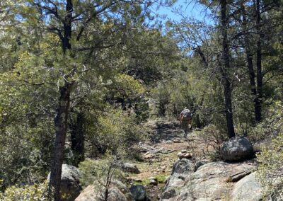
There were incredible views of Juniper Mesa and Hyde Mountain as we wandered through this isolated landscape in total solitude. The trail was not always easy to follow but well-placed cairns always got us back on track. Once you get to the road you will want to go left half a mile until you reach 95A. From here you are about three miles back to 9906. This section of the loop gets rough. It has some serious elevation gain and we found out why the road is labeled impassible. Not impossible, but NOT recommended as a through route. You could get yourself into some real trouble in a very remote area. Overall, I loved the adventure and I plan to go back to do the upper half as soon as possible.
With trailhead parking lots overflowing during the past few months, it was nice to find something we could have all to ourselves.


