
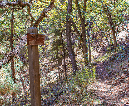
Smith Ravine Trail #297 Boasts a Shady Canopy AND a Spectacular View
By Amanda Lane, owner The Hike Shack
Spruce Mountain is one of the most breathtaking peaks in the Bradshaws. The Smith Ravine Trail climbs the eastern side of this peak from Walker Road.
The trail is approximately three miles each way and gains a little more than 1000 feet of elevation. The trailhead is located five miles out Walker road on the right-hand side, with a parking area just behind the five-mile marker. There are no facilities or water at this site so hikers should bring what they need. Although the landscape at the parking area is barren-looking, don’t let it discourage you. The Forest Service recently cleared the area, but this is the case only for approximately one-quarter mile of the trail.
The Smith Ravine Trail can be steep at times, and it rolls up and down a few ravines as it climbs towards the Spruce Mountain Lookout. The trail is in good shape and only somewhat rocky, but I was really glad I had my trekking poles to help with the elevation loss and gain. I highly recommend them for this hike.
The climb was a great workout and usually the views are what makes a challenge like this one so enjoyable. Although the views are spectacular, my favorite part of this adventure was the trees. Once you leave the recently-cleared area, you enter a canopy of trees that is truly breathtaking. There is a lot of old growth in this area and some of the Manzanitas actually look more like trees than shrubs. For the majority of the trail you are under the cover of the most beautiful assortment of gigantic Manzanita, Pinion pines, Gamble oaks, Alligator junipers and occasional Blue Spruces as you climb higher.
Smith Ravine Spring is located about halfway up the trail and does have a small amount of water seeping out of it most of the year. The area around the spring is covered in yellow columbine and other water-loving plants. The climbing ends when you catch your first glimpse of the Spruce Mountain Fire lookout on your left just before you hit the FR52A Jeep road. From here you can follow the Jeep road to the summit if you wish. You can access the trail from this side by heading up Senator Highway approximately four-and-a-half miles, then turning left on 52A. The trailhead is approximately two-and-a-half miles up the dirt road on your left and the trail sign is a little hard to see, but there is a parking area that gives it away. However, if you decide to approach this one be ready for the elevation change and take your time. There is a lot of wildlife in the area, and most of the truly majestic trees are slightly off the path so you have to keep an eye out for them.